



Long before I worked on the COMDEKS Phase 4 digital pilots, I was intrigued by what emerging technologies could offer to the world of conservation. As a university student in Costa Rica, I worked on a project focused on agroforestry and regenerative farming, where I taught myself how to fly a drone for the first time.
What began as curiosity quickly became an essential part of my research. Using aerial imagery, I mapped agroforestry plots throughout the growing season alongside data from soil samples and field measurements. Watching the landscape evolve over time and seeing how technology validated what we observed in the field completely changed how I thought about conservation. It showed me how technology could help tell the story of ecosystem recovery and how we might more effectively measure the restoration of natural ecosystems over time.
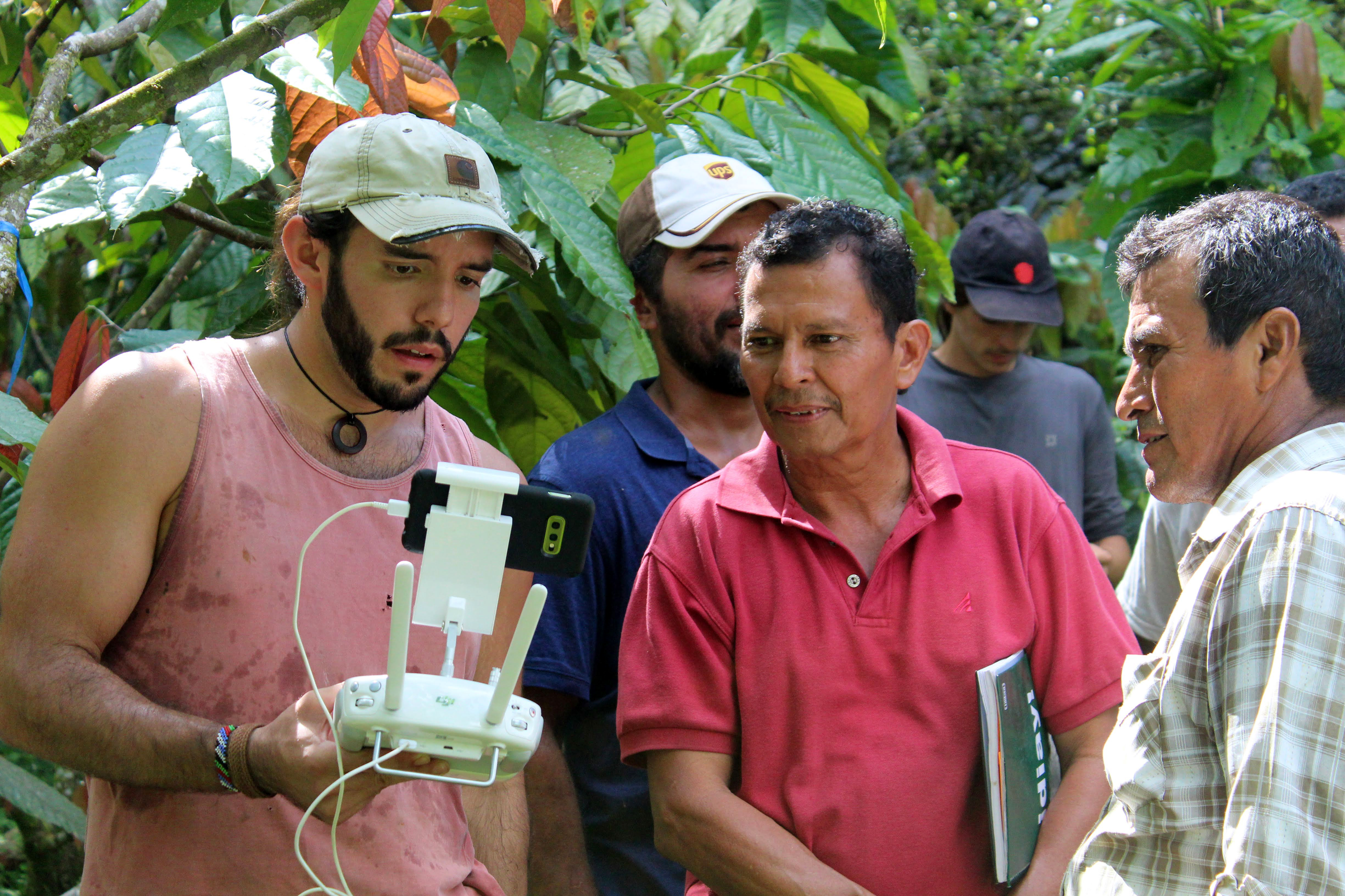 Caption: Malcolm working with cacao farmers to map agroforestry plots using drone technology, Costa Rica (2019).
Upon joining the COMDEKS programme, I carried that same eagerness to explore how digital tools could support communities working to protect biodiversity while improving livelihoods. As the COMDEKS digital technical advisor, my role is to connect communities, conservation practitioners, and technology experts, helping translate local needs into practical digital solutions. But what I quickly discovered was that the technology itself was only a small part of the equation.
Different Landscapes, Shared Visions
Across Costa Rica, Tanzania, and Türkiye, every landscape presented different ecological challenges, cultures, and priorities. Yet one thing remained remarkably consistent: communities were not asking for more technology. They were asking for better ways to solve real problems.
I worked alongside country teams and local partners to identify digital solutions that could strengthen conservation outcomes while supporting community livelihoods.Whether exploring environmental monitoring and traceability in Costa Rica, supporting a data-driven beekeeping initiative in Tanzania, or advising on precision agriculture approaches in Türkiye, the objective was never to introduce technology for its own sake. My role was to help identify practical, scalable tools that responded to the unique needs of each project and could realistically be adopted by the communities managing them.
Technology Meets Community
It's easy to get excited about the potential of drones, satellites, mobile applications, and geospatial platforms. They promise better monitoring, richer environmental data, and faster decision-making. But conservation doesn't happen solely behind a computer screen; it happens in forests, farms, wetlands, and villages.
Instead of asking, "What technology should we introduce?" I learned to ask, "What challenge is the community trying to solve?"
Building Trust
One of the biggest surprises across these pilots was realizing that the most valuable expertise wasn't technical; it came from the communities themselves. One question stayed with me: what actually makes people trust a digital tool? It isn't sophisticated software. It isn't artificial intelligence. It isn't even the quality of the maps.
Trust comes from consistency. It comes from transparency. It comes from seeing information that reflects reality and helps people make better decisions. Communities don't need the most advanced technology.
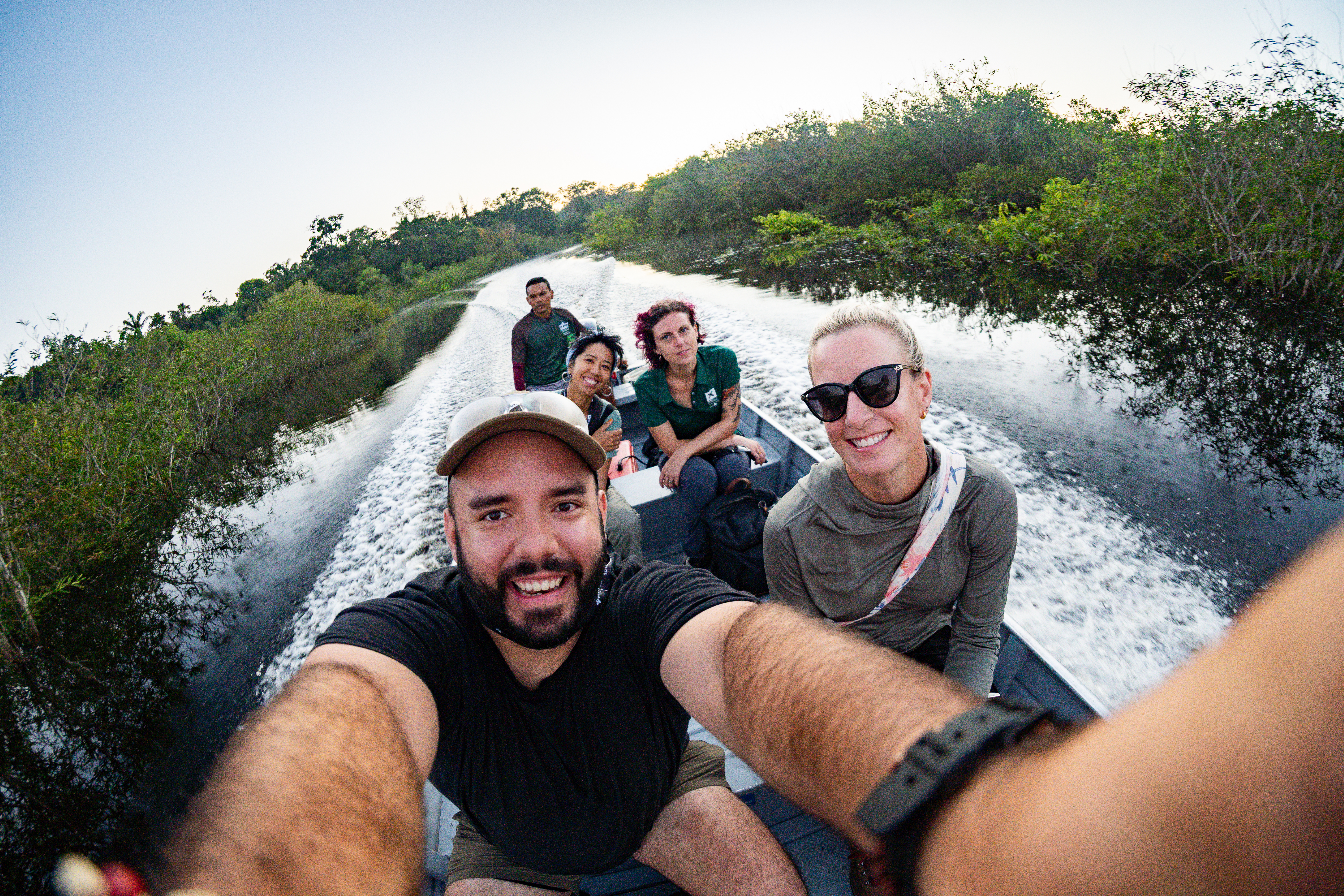 Caption: Testing biodiversity monitoring innovations in the Brazilian Amazon during the XPRIZE Rainforest finals (2024).
Tech That Works
That realization has shaped the way I approach every new digital project. Before discussing platforms or software, I now spend far more time understanding the information that communities already value. Because once trust is established, technology becomes much easier to introduce. As conservation continues to embrace digital technologies, we should remember that data is only part of the story. The most successful projects are still built on relationships, local knowledge, and shared stewardship. Technology should amplify those strengths, not replace them.
A Final Reflection
I often reflect on that student standing in an agroforestry field, teaching himself to fly a drone and trying to understand how landscapes change over time. At the time, I thought the drone was the most important part of the project. Today, I realize it wasn't.
The most important part was learning how technology could help tell the story of people restoring landscapes. If there's one lesson I'd share with anyone working at the intersection of technology and conservation, it's this:
Don't start with the technology. Start with the people. The technology will follow.
About Malcolm
Malcolm Porteus González is a Costa Rican agricultural engineer who focuses his work on ecosystem restoration, sustainable farming, and environmental care across Latin America. After studying at Universidad EARTH in Costa Rica, he began combining field science with technology to support healthy land management. Over his career as a consultant and project manager, he has overseen and advised baseline mapping for large-scale wildlife corridors, deploying 3D forest modeling, and setting up trials to compare the long-term cost and accuracy of drone-based ecological monitoring against manual field tracking. Throughout these projects, he uses aerial surveys to track canopy recovery, gather field data, and share technical skills directly with local community partners to ensure long-term, self-sustaining conservation.
About COMDEKS: Launched in 2011 as a flagship programme of the Satoyama Initiative, COMDEKS is a global effort to promote the sustainable use of natural resources in landscapes and seascapes with local communities whose livelihoods and cultural heritage depend on them. It provides small-scale finance through SGP directly to local communities, Indigenous Peoples and civil society to implement locally led projects that improve livelihoods and well-being, conserve biodiversity, address climate change, build resilience and support local cultures and traditional practices. Launched in 2022, COMDEKS Phase 4 is funded by the Ministry of the Environment Japan and the Keidanren Nature Conservation Fund and is implemented by the SGP at UNDP.
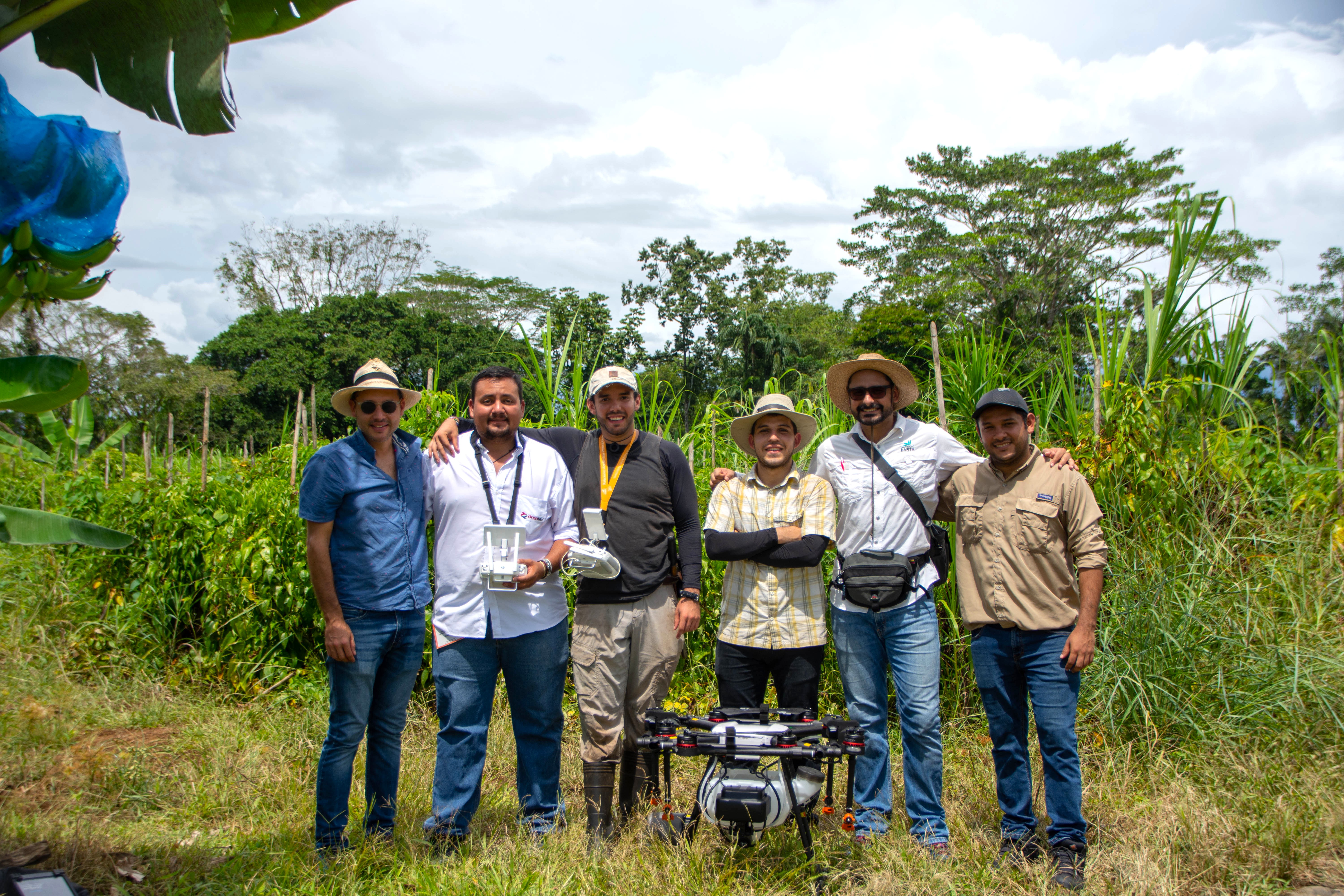 Caption: Building local capacity in drone applications at EARTH University, Costa Rica (2018).